Overview
At RISO Data, we've developed a multi-layered approach to collecting and analyzing agricultural data that combines AI-powered conversational agents, computer vision, and sophisticated validation algorithms. Our methodology is designed to gather high-quality, verified data at scale while providing value to farmers through personalized agronomic advice.
The core innovation in our approach is the combination of human-centered design with advanced technology, creating a symbiotic relationship where farmers receive valuable support while contributing to a robust data ecosystem that benefits the entire supply chain.
Data Collection
We gather data through direct farmer interactions via our AI agent Gervais, deployed in multiple languages and dialects across cocoa-growing regions.
Data Processing
Raw data is processed using our proprietary algorithms that clean, structure, and enrich farmer-provided information with contextual environmental data.
Data Validation
Multi-tiered validation processes cross-reference information against historical patterns, satellite imagery, and regional benchmarks to ensure accuracy.
Insight Generation
Validated data is transformed into actionable insights for both farmers and supply chain stakeholders through specialized algorithms and dashboards.
Data Collection Methods
Our primary data collection occurs through the Gervais AI agent, which engages directly with farmers via SMS, voice messages, and our mobile application. This conversational approach establishes rapport while systematically gathering critical production data.
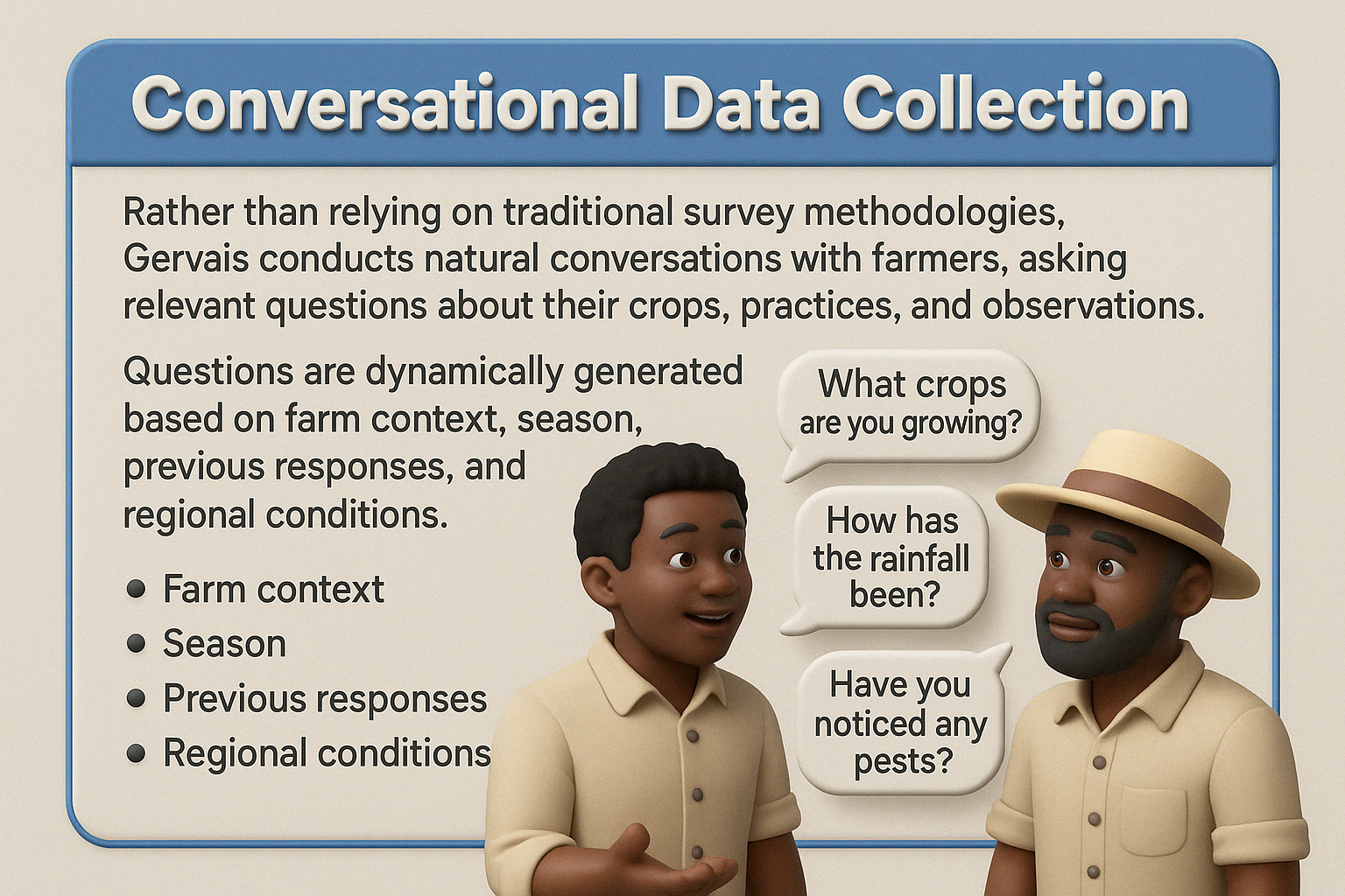
Conversational Data Collection
Rather than relying on traditional survey methodologies, Gervais conducts natural conversations with farmers, asking relevant questions about their crops, practices, and observations. Questions are dynamically generated based on farm context, season, previous responses, and regional conditions.
Visual Data Collection
When available, farmers can submit photos of their crops through our mobile application. These images are analyzed using computer vision algorithms to detect:
- Pod count and maturity assessment
- Disease identification and severity
- Tree health evaluation
- Soil condition analysis
Geospatial Integration
Farm locations are geocoded to integrate with satellite imagery, weather data, and soil maps. This spatial context enriches the farmer-provided information and enables cross-validation with remote sensing data.
Validation and Quality Assurance
Ensuring data quality is paramount to our methodology. We employ multiple layers of validation:
| Validation Level | Methods | Accuracy |
|---|---|---|
| Primary | Internal consistency checks, outlier detection, pattern recognition | 85-90% |
| Secondary | Cross-reference with historical data, regional averages, weather patterns | 90-95% |
| Tertiary | Satellite validation, sporadic ground-truthing by field agents | 95-98% |
| Quaternary | AI-driven anomaly detection, multi-source confirmation | >98% |
Our machine learning models continuously improve through feedback loops, with each new data point contributing to more robust validation mechanisms.
Ethical Considerations
Our research methodology is guided by strict ethical principles:
Farmer Consent and Privacy
All farmers explicitly consent to data collection, with clear explanations of how their information will be used. Personal identifying information is separated from production data in our systems.
Value Exchange
We operate on a principle of fair exchange - farmers contribute data and receive valuable agronomic advice, disease alerts, and market information in return.
Data Sovereignty
Farmers retain rights to their data and can request deletion at any time. Aggregate, anonymized insights are what we share with supply chain partners.
Research Applications
The data collected through our methodology supports various research initiatives:
- Climate change impact assessment on cocoa production
- Disease outbreak prediction and mitigation strategies
- Optimization of farming practices for sustainability and yield
- Supply chain transparency and traceability improvements
- Economic modeling of cocoa production and market dynamics
Our research findings are published in academic journals, presented at conferences, and incorporated into our platform to continuously improve the value we deliver to all stakeholders.